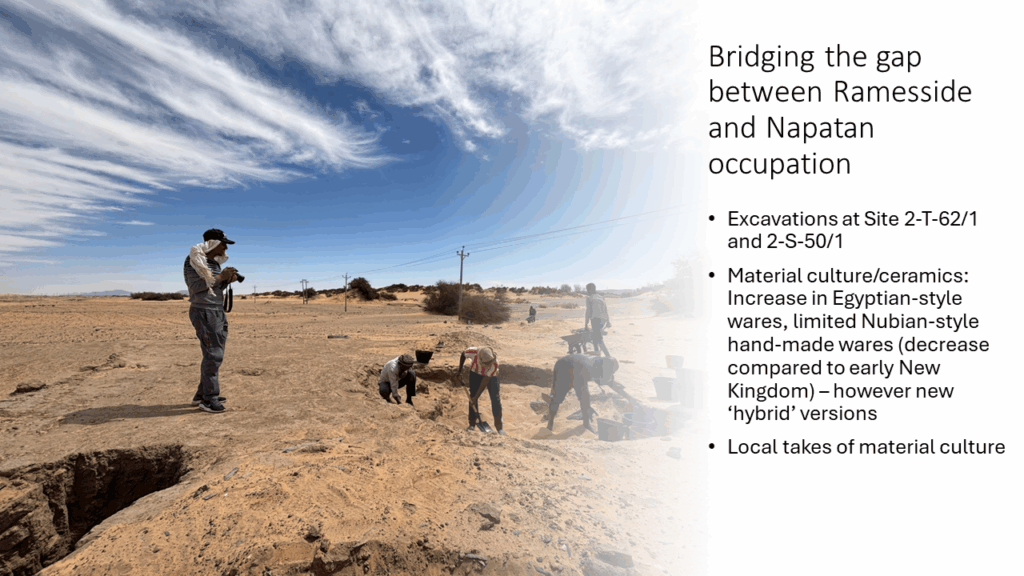
Within the DiverseNile project, we focus on developments and dynamics in the Bronze Age, particularly in the Late Bronze Age. The collapse of the Late Bronze Age is also a key consideration here, and I have recently revisited Post New Kingdom evidence from the MUAFS concession.
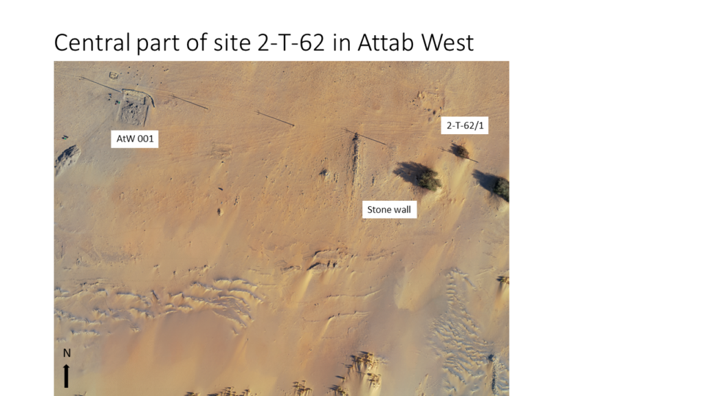
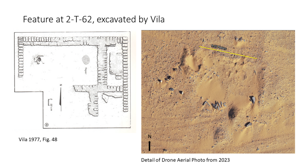
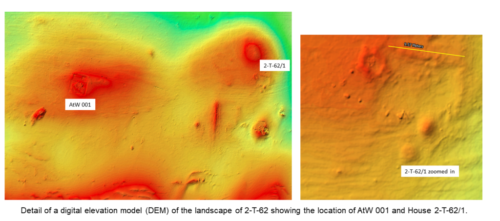
I am delighted that a publication is now available. In this new article (Budka 2025), I have attempted to shed new light on an old topic. In recent decades, the concept of a ‘Dark Age’ in ancient Sudan at the beginning of the first millennium BCE has increasingly been questioned within Nubian archaeology. This is primarily due to new archaeological discoveries at urban sites such as Tombos and Amara West, as well as new theoretical approaches that have emerged since the post-colonial shift. My recently published study aims to demonstrate that remote sensing, surveying and excavations in the Attab to Ferka region of Sudan have also yielded significant evidence of sustained habitation following the termination of Egyptian colonial rule over Nubia. Studies of settlement patterns and pottery, in particular, enrich our understanding of people’s lives between 1070 and 750 BCE, allowing us to shed light on dynamic processes, local forms of resilience and innovation.

This new understanding of the resilience of communities after the collapse of colonial Nubia under Egyptian rule enables a more nuanced interpretation of the development of the Napatan Empire and challenges the conventional concept of secondary states.
The Attab to Ferka case study shows that marginalised regions and communities made a significant contribution to cultural dynamics and achievements in Sudan during the first millennium BCE.
I’m very much looking forward to receiving feedback on this discussion and my theory!
Reference
Budka, J. 2025. The End of the Egyptian New Kingdom in Colonial Nubia: New Perspectives on Sociocultural Transformations in the Middle Nile. Humans. 2025; 5(4):26. https://doi.org/10.3390/humans5040026


