The ancient city of Kedurma and its hinterland: DiverseNile Seminar by Mohamed Bashir

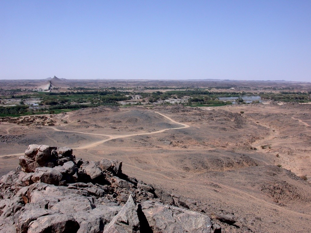
The start of this year’s DiverseNile Seminar on May 7th is approaching! I am very much looking forward to the lecture by Mohamed Bashir (currently Visiting Research Scholar, Institute for the Study of the Ancient World, NYU) with the title “Lost landscapes, hidden histories: Palaeoecological reconstructions and archaeological investigations of the ancient city of Kedurma and its hinterland, Northern Sudan”.
Mohamed kindly provided us with an abstract for his talk:

„This study addresses the complicated/unexplored relationship between the ancient city of Kedurma in the Third Cataract region of northern Sudan and the surrounding hinterland. It focuses on the reconstruction of the palaeoecological conditions and the exploration of the archaeological remains, looking for the dynamic process that shaped the landscape over time in interaction with environmental factors and human activities. By integrating palaeoecological data and archaeological finds, this study seeks to uncover the historical development of the city and its hinterland.

Through interdisciplinary approaches, including survey, excavation, and analysis of archaeological artefacts, we can identify patterns of land use, settlement dynamics and cultural interactions. Through analysis, we seek to reconstruct past environments and human interventions in this urban periphery. This research contributes to a deeper understanding of the surrounding landscapes of the Third Cataract region and their impact on the development of Kedurma, as well as their significance in a broader historical narrative.

Ultimately, this study sheds light on the interconnectedness of human societies, urbanization and environmental change and offers valuable perspectives for urban planning, heritage conservation and sustainable development.“

This presentation ties in perfectly with the goals of the DiverseNile project and our investigations of the hinterland of the ancient cities of Amara West and Sai Island applying the landscape biography approach. This case study will also showcase the importance to investigate urbanization processes in the Middle Nile – also in respect to sustainable development goals as Mohamed pointed out. All in all, there are plenty of reasons why you should attend this upcoming seminar!

Anniversary of a new challenge

The time between Xmas and New Year is often a kind of transition, for many a moment to pause, but for others also a super stressful time in which all kinds of things have to be finished and loads of papers are sitting on one’s desk because one deliberately waited for this “break” between the holidays…

Well, I do not want to go into details, but my current work in home office is far from being relaxed. Nevertheless, it seems adequate to pause for a moment and remember what was achieved in the last few years.

Today one week ago, I gave the first DiverseNile Xmas lecture – this zoom lecture was meant as a kind of “Thank you” to all my friends, colleagues and collaborators who supported me in the last decades.

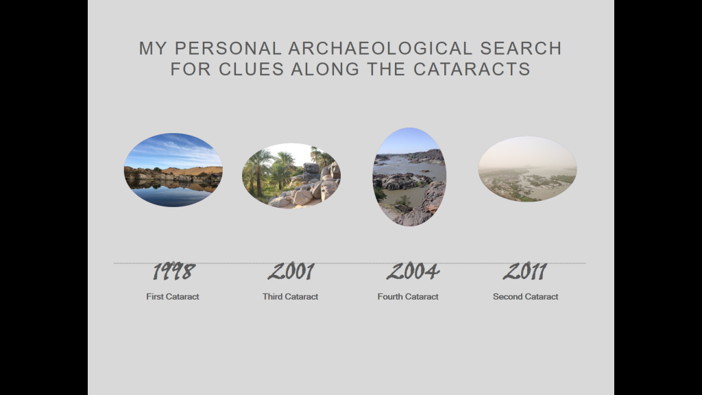
I tried to outline the most important waypoints leading to the new project in the region between Attab and Ferka, taking my visits and research in the cataract areas as case studies, starting of course with my participation in the Elephantine project.

From the First, to the Third, Fourth and Second Cataract.

Today two years ago, I was leaving Khartoum to go north and start work in my new concession between Attab and Ferka, the first field season of the MUAFS project started. Our very promising results of this first season served as the basis for the successful acquisition of the present ERC DiverseNile project – thus really a day to remember!

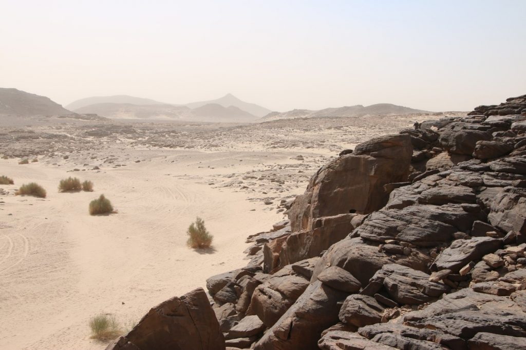
Preparing my lecture for last week, I reassessed my old documentation of rock inscriptions at Tombos, but especially of the Humboldt University Nubian Expedition at the Fourth Cataract as part of the Merowe Dam Archaeological Salvage Project. I will never forget the moment when we first entered our concession area in 2004 coming from the desert and looking on a barren, yet infinitely beautiful cataract landscape.

The three years of fieldwork in the area of Kirbekan were a great challenge, but this work has shaped me and taught me so much about archaeology and surveying. We had a great variety of funerary monuments and for me besides rock art the most interesting sites were tombs of the Napatan era and others associated with the Kerma culture. The discovery of Kerma remains/a local Kerma horizon was among the most impressive outcomes of the entire Merowe Dam Archaeological Salvage Project! And fits perfectly to our current investigations in the Attab to Ferka region.

My visits to the Batn el-Hagar, the Kajbar cataract and of course Sai Island will never be forgotten. Sudan is such an impressive country with stunning landscapes and much more!

Without the years of the AcrossBorders project on Sai Island, my current research focus on remains from the Egyptian colonial era in the Attab to Ferka region with an emphasis on cultural diversity and the materialisation of cultural encounters would not be possible. Thus, many thanks again for all who supported me – there are exciting years ahead of us, stay tuned for new results from the MUAFS concession!

An update: Kerma sites in the Attab to Ferka region

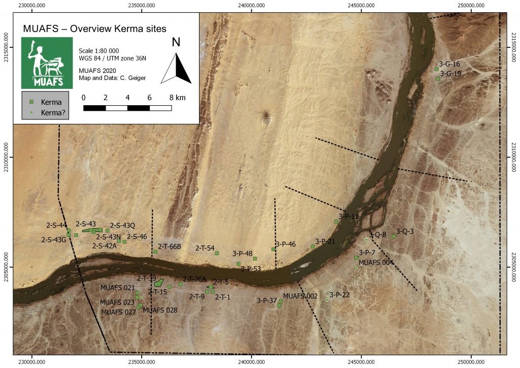
The last weeks were busy, among other tasks with completing data for our GIS project in order to create new maps based on our survey results. As I have shown in my OREA e-lecture, Cajetan has created site distribution maps according to periods – simply fantastic to work with!

Since the ERC project DiverseNile will focus on Bronze Age remains, the sites currently labelled as ‘Kerma’ are of much interest. The present map also includes some unclear sites where a proper dating and/or association with the Kerma culture remains to be checked.

Kerma sites in the Attab to Ferka region identifed by the MUAFS project (status: 2020)

Brigitte Gratien, one of the leading experts on the Kerma culture, recently pointed out the general problems related to Kerma remains outside of the heartland of the Kerma kingdom at the Third Cataract:

As everybody knows, writing about Kerma north of the Third Cataract is not so easy. Most of the excavations were done a long time ago and the results come mostly from the Nile valley. Where are the borders of the Kerma state or kingdom? What are the stages in the expansion of Kerma to the north, and what was the nature of the links and relationship with the other Nubian cultures and with Egypt?’(Gratien 2014, 95)

The Attab to Ferka region and renewed excavations at Kerma sites in the area have much potential to address these questions and problems which will be of first priority for the DiverseNile project. In general, very little rural settlements have been investigated up to now in northern Sudan, creating a lack of means to contextualise the central sites like Kerma or Sai Island. Sai is regarded, due to the strong Kerma presence on the island prior to the New Kingdom and especially the very large cemetery with huge tumuli, as northern stronghold of the Kerma kingdom. But how does this presumed function of the island relate to the periphery of Sai? What do we know about Kerma dwellings in the area?

This brings us back to the MUAFS concession and to our newly established distribution of ‘Kerma’ sites. Camps, settlements and cemeteries of the Kerma culture were recorded at both riverbanks. Except for two large Kerma tumulus cemeteries associated with the Kerma classique period in Ferka East, 3-G-16 and 3-G-19, all of the sites are clustered in the southern districts of Attab, Ginis and Kosha, thus quite close to Sai Island.

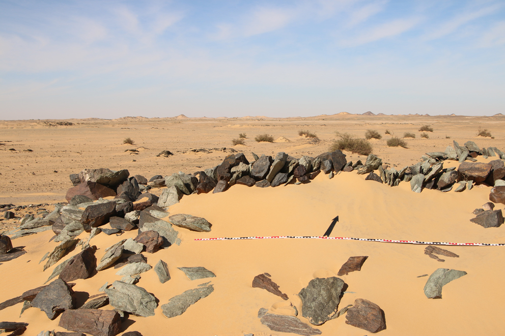
Dry-stone architecture datable to the Brone Age at Attab West.

Of particular interest are 1) stone structures in the Attab West district associated with 18th Dynasty pottery but of unclear cultural attribution since also Nubian material culture was present (Budka 2019, 24‒25) and 2) various settlement sites in the district of Ginis East. The latter were partly investigated by our text excavations earlier this year.

It is still too early, but sites like GiE 001 and the ‘watchtowers’ in Attab West will hopefully allow a comparison of ‘provincial’ Kerma remains like Gism el-Arba (Gratien et al. 2003; 2008) and H25 near Kawa (Ross 2014) with the capital of the Kushite kingdom, Kerma itself (Bonnet 2014). At least some of the questions regarding Kerma north of the Third Cataract are likely to be answered in the next years.

References

Bonnet 2014 = Bonnet, C. 2014. La ville de Kerma: une capitale nubienne au sud de lʼEgypte. Paris.

Budka 2019 = Budka, J. 2019. ‘Towards Middle Nile Biographies: The Munich University Attab to Ferka Survey Project 2018/2019’, Sudan & Nubia 23, 13‒26.

Gratien 2014 = Gratien, B. 2014. ‘Kerma north of the Third Cataract’, in J. Anderson and D. Welsby (eds), The Fourth Cataract and Beyond. Proceedings of the 12th International Conference for Nubian Studies. British Museum Publications on Egypt and Sudan 1. Leuven, 95‒101.

Gratien et al. 2003 = Gratien, B., Marchi, S., Thuriot, O. and J.-M. Willot 2003. ‘Gism el-Arba, habitat 2. Rapport préliminaire sur un centre de stockage Kerma au bord du Nil’, Cahiers de Recherches de l’Institut de Papyrologie et d’Égyptologie de Lille 23, 29-43.

Gratien et al. 2008 = Gratien, B., Marchi, S., Sys, D. and R.-P. Dissaux 2008. ‘Gism el-Arba – Habitat 2, Campagne 2005–2006’, Kush 19 (2003-2008), 21-35.

Ross 2014 = Ross, T.I. 2014. ‘El-Eided Mohamadein (H25): A Kerma, New Kingdom and Napatan settlement on the Alfreda Nile’, Sudan & Nubia 18, 58‒68.